|
What is the NLCD?
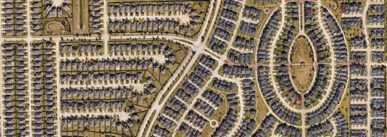
The National Land Cover Dataset is a remote sensed product released in 2001, 2006, and 2011. (The 2016 data should be released soon-ish.) Basically, a satellite flies over the US and measures the wavelengths of energy reflecting off the surface of the earth. Each type of land cover has a specific spectral signature allowing scientists to infer what is on the ground with surprisingly high accuracy - greater than 90% in most cases. Each 30 meter by 30 meter pixel of data is analyzed and assigned a dominant land cover type. The land cover types are divided up into 20 different categories and a pixel is assigned the land cover type that has the highest percentage of cover. Why should I care about the NLCD? In broad strokes, this means we can look at paved versus unpaved areas, which are really interesting to climate scientists. Most pavement and concrete store heat very effectively meaning that cities are warmer at night than the surrounding sub-urban and rural areas. This also leads to higher temperatures in cities called the urban heat island effect. Pavement and concrete and house also block rainfall from entering the soil. This leads to increased urban runoff and higher peak water flows. That's flooding. A third great use for the NLCD is for tracking deforestation. This is an amazing map from Hansen at the University of Maryland that quantifies 21st century deforestation using remote sensed data. How can I access the NLCD? The steps below access the NLCD using an internet based Google viewer called Earth Engine. (Alternately, you can download the data and use a free software program called QGIS to view it and export maps.) 1) Go to https://earthengine.google.com/ 2) Under Ready-to-Use Datasets click on Explore Datasets 3) At the top, click on Geophysical 4) Under Land Cover, click on Search landcover data in Earth Engine 5) Click on NLCD: USGS National Land Cover Database 6) Click Open in Workspace 7) Click Cancel 8) In a separate window, open the legend - https://www.mrlc.gov/nlcd11_leg.php |
ideasinteresting tidbits from my geography classes and academic life Archives
June 2018
|

 RSS Feed
